Spatial Finance
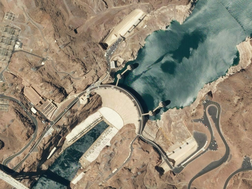
Using real-time satellite imagery to ensure that people are building (or not-building) what they say they’re going to.
‘Spatial finance’ is the integration of geospatial data and analysis into financial theory and practice. Earth observation and remote sensing combined with machine learning have the potential to transform the availability of information in our financial system. It will allow financial markets to better measure and manage climate-related risks, as well as a vast range of other factors that affect risk and return in different asset classes.Source: Spatial Finance Initiative - Greening Finance and Investment
